MAPS & RESOURCES
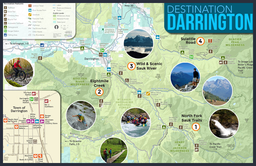
Destination Darrington Map
Come visit and explore some of the best hikes, adventures, and small-town hospitality.

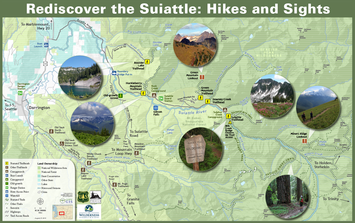
Suiattle Map

TOWN TEAR-OFF MAPS – City Map Info
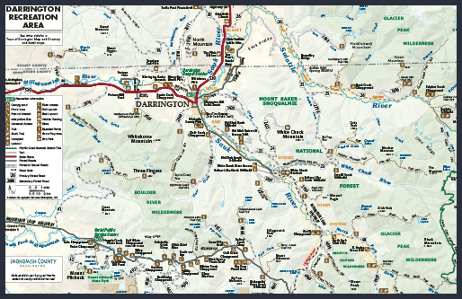
TOWN TEAR-OFF MAP - Rec Areas
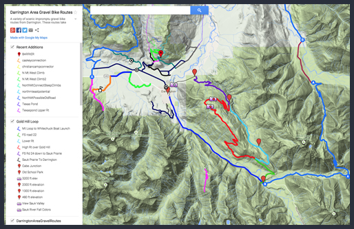
Biking Trails
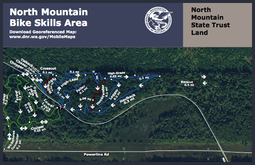
North Mountain Bike Skills Area
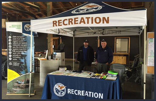
DNR Recreation Newsletter
Department of Fish & Wildlife
Geocaching
Geocaching is an any day, any time adventure that can take you to amazing and beautiful places. Explore the geocaches in and around Darrington!
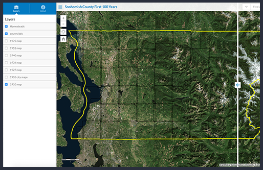
Snohomish County First 100 Years
This map allows the user to select any of the vintage maps from 1910 to 1975.
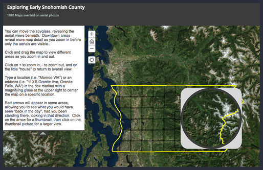
Exploring Early Snohomish County
This map consists of 1910 maps of the entire county (at least the entire portion that was mapped in 1910.)
Whitehorse Trail Map
The Whitehorse Regional Trail is currently opened between the Fortson Mill Trailhead to Darrington and we ask that visitors only utilize this portion of the trail until further notice.
TRIVIA
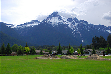
Can you name the FIVE mountain peaks visible on the eastern skyline from I5 and central Snohomish County? (extra points if you can list them from north to south...)
From north to south, Whitehorse, Three Fingers, Big Bear, Liberty Peak, and Pilchuck!


